Whitley Chapel woodland walk
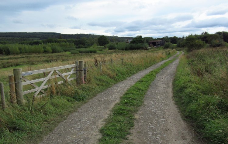
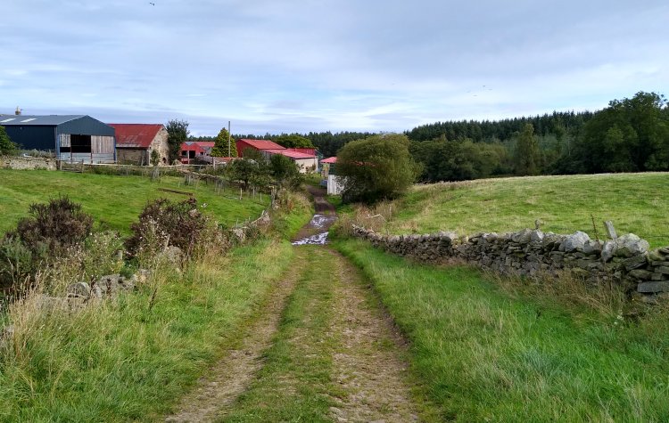
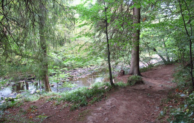
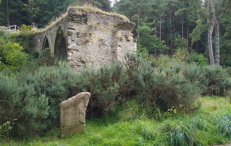
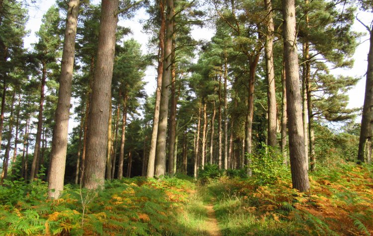
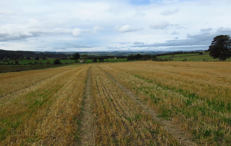
A woodland walk from Whitley Chapel to Slaley village via Slaley forest, Dukesfield and Dipton wood; returning along the Devil's Water river.
This walking route has been tracked using a GPS device.
Comments
Posted on .
Written by ChrisThis could make a good pub walk, stopping at the pub in Slaley. The best picnic spots are next to the river.
Please login to leave comments.
Login