Crummock water and Mellbreak
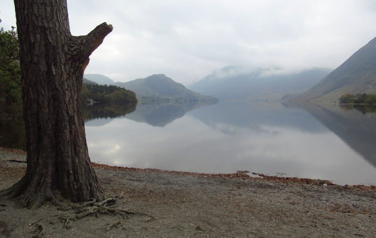
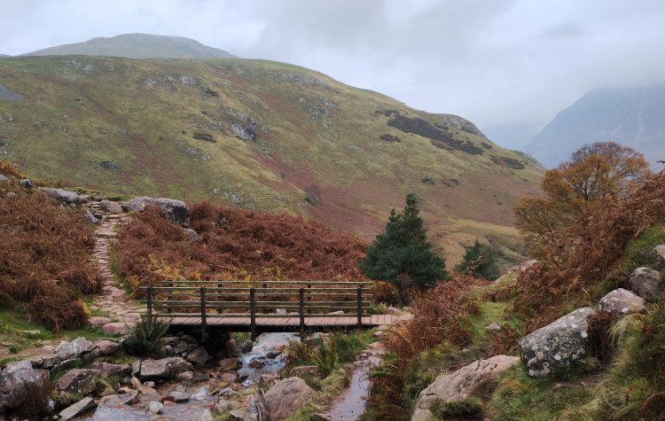
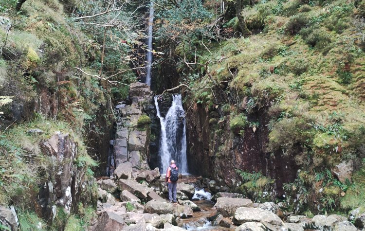
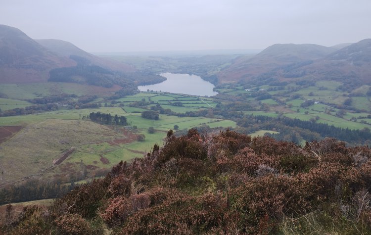
A walk from the National trust car park at Lanthwaite wood; the route passes through the wood and then along the banks of Crummock water before returning over Mellbreak fells.
This walking route has been tracked using a GPS device.


Comments
Posted on .
Written by ChrisThe decent at raven crag was a horrible scree path and was tough going.. this route is not for everyone.
Please login to leave comments.
Login