Guisborough walk up to Roseberry Topping
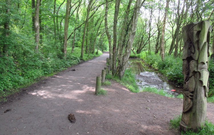
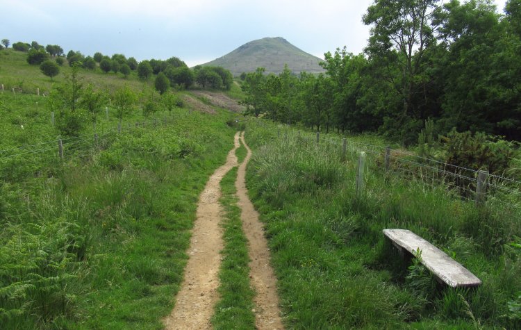
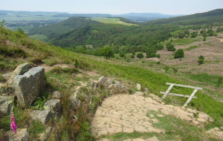
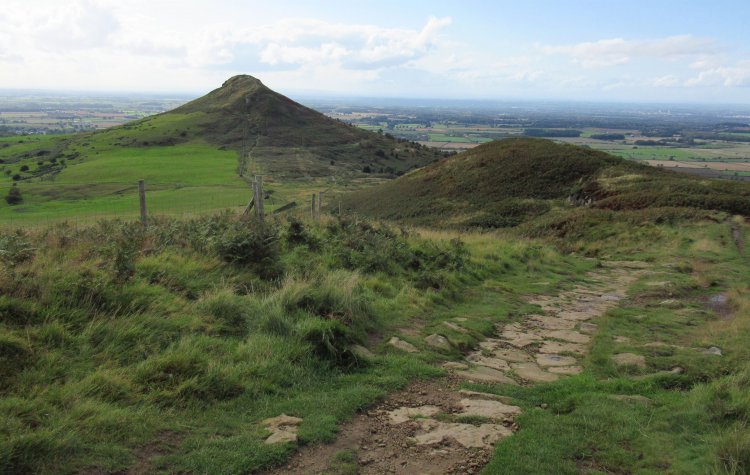
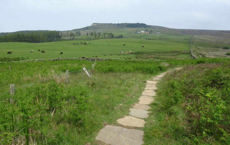
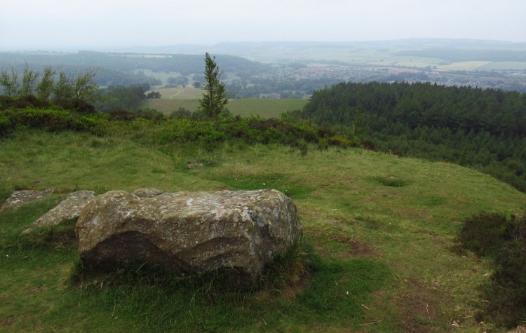
A walk from Guisborough car park up to Highcliffe Nab and then following the Cleveland Way on to Roseberry Topping.
This walking route has been tracked using a GPS device.
Comments
Be the first to leave feedback on this walk.
Please login to leave comments.
Login