Hubberholme and Horse Head moor walk
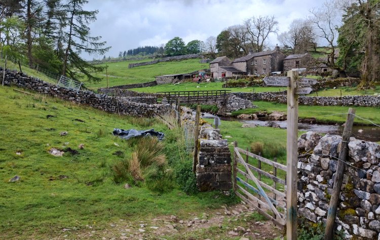
A walk from Hubberholme village; the route climbs up to Horse Head moor trig point, with the return leg descending back down to the river Wharfe to follow the dales way.
This walking route has been tracked using a GPS device.




Comments
Posted on .
Written by ChrisTrees have been planted on a section of the route up to Horse Head; could be a nice wooded valley in the future:). A bit boggy on the moors, but this was expected after all the rain, and a nice easy route along the river Wharfe to finish. 👍
Please login to leave comments.
Login