Ambergate to Whatstandwell via Cromford walk
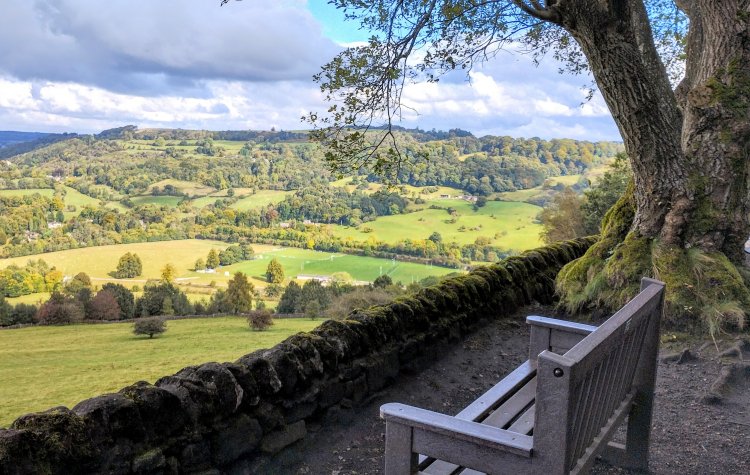
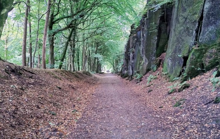
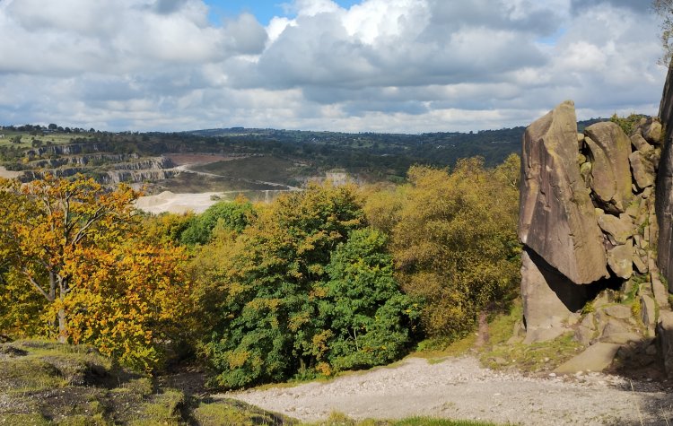
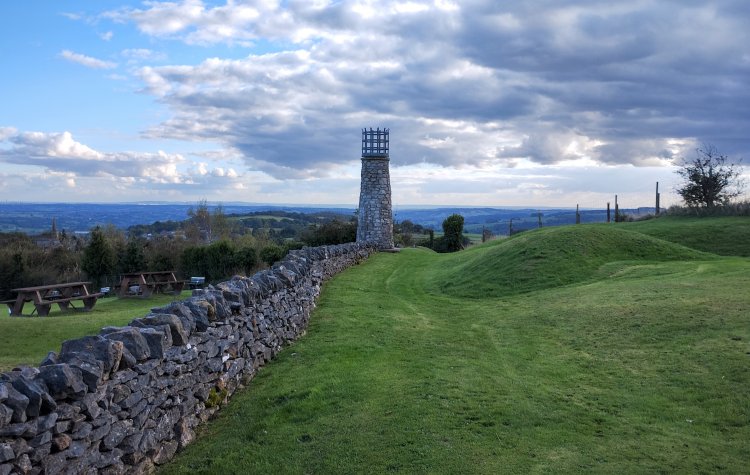
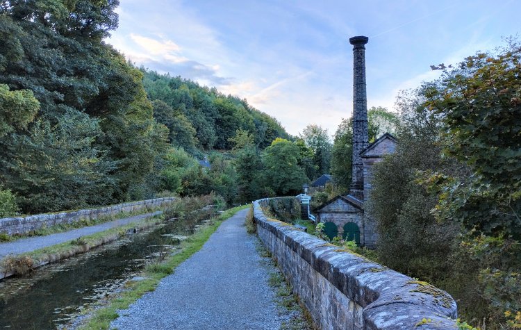
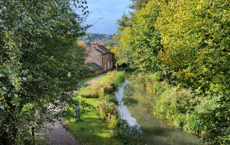
A walk between the train stations of Whatstandwell and Ambergate. The first part of the route follows the midshires way to black rock and then returns to Whatstandwell via the Cromford canal; shortcut option to end the walk at this point. The route continues up to Crich memorial tower and then through Crich Chase to Ambergate train station.
This walking route has been tracked using a GPS device.
Comments
Posted on .
Written by ChrisCould make a good pub walk. We had sandwiches though and had lunch on the picnic tables at Crich memorial tower.👍
Please login to leave comments.
Login