Thrunton Woodland walk to Long Crag
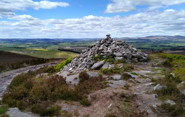
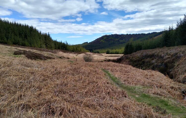
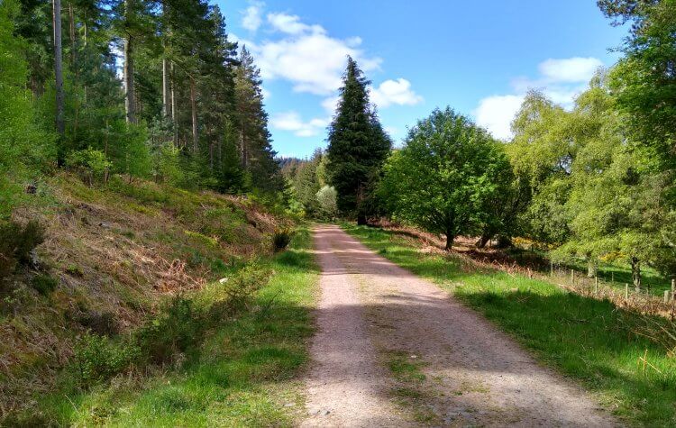
A walk, starting at Thrunton Wood car park, which heads through the wood and across the moor to Long Crag and Coe Crag and returns back through the wood.
This walking route has been tracked using a GPS device.



Comments
Be the first to leave feedback on this walk.
Please login to leave comments.
Login